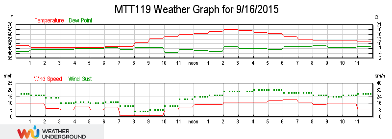
"Walsh Peak was named for Gilroy resident Walter Walsh , who once maintained a cabin nearby on Pacheco Creek." Names On The LandIt was freakish weather but in a good way. A 70º day nestled in a series of normal 100º summer afternoons. I used it to go check out a "new" trail in Coe State Park, the Walsh Peak Trail, which I read about in the summer issue of the volunteer newsletter,
The Ponderosa:
 Link to a bigger version of the above map.
 Today's mission was to follow the path represented by the green line.
Neglected for decades, it cleaned-up pretty good and is well tramped down by the volunteer workers...
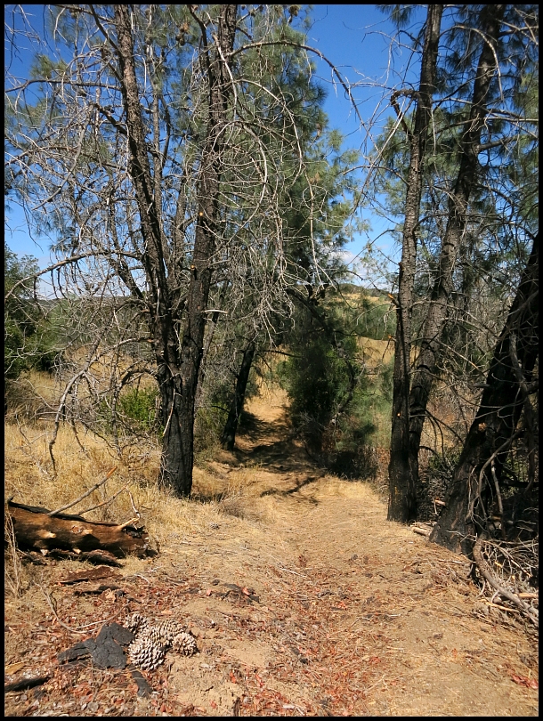
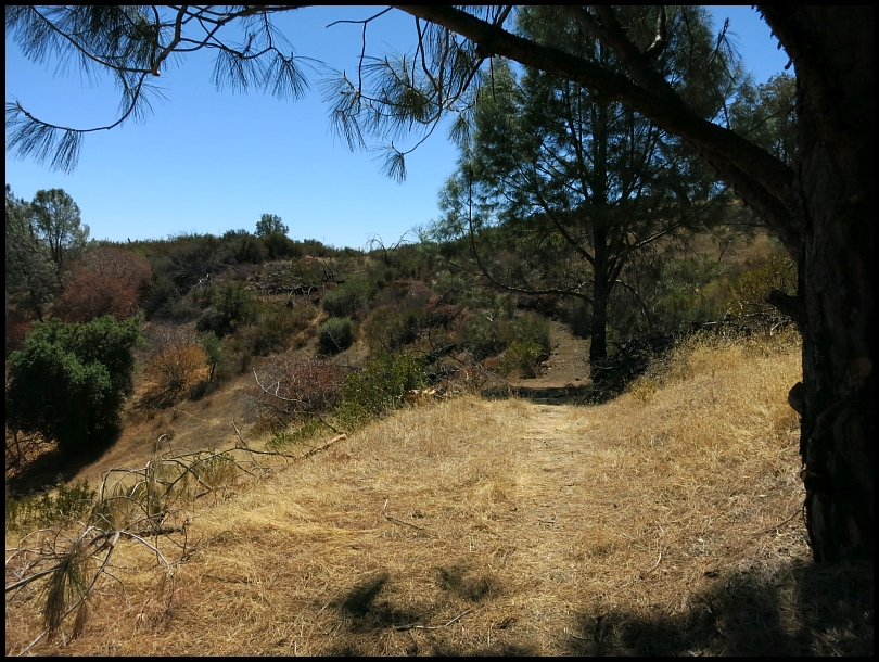
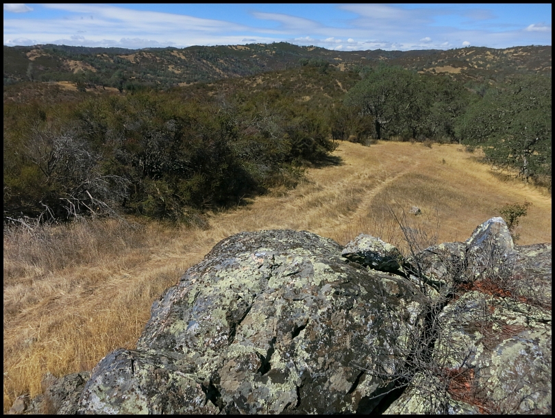
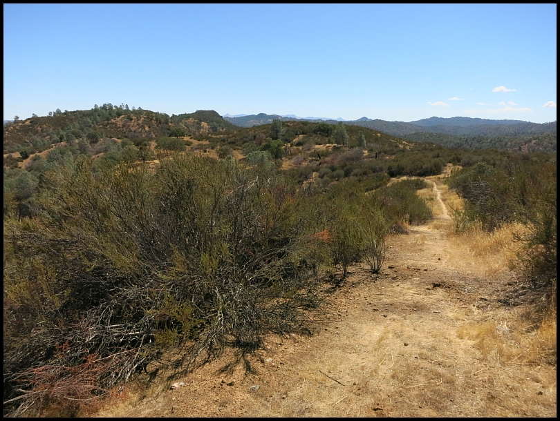
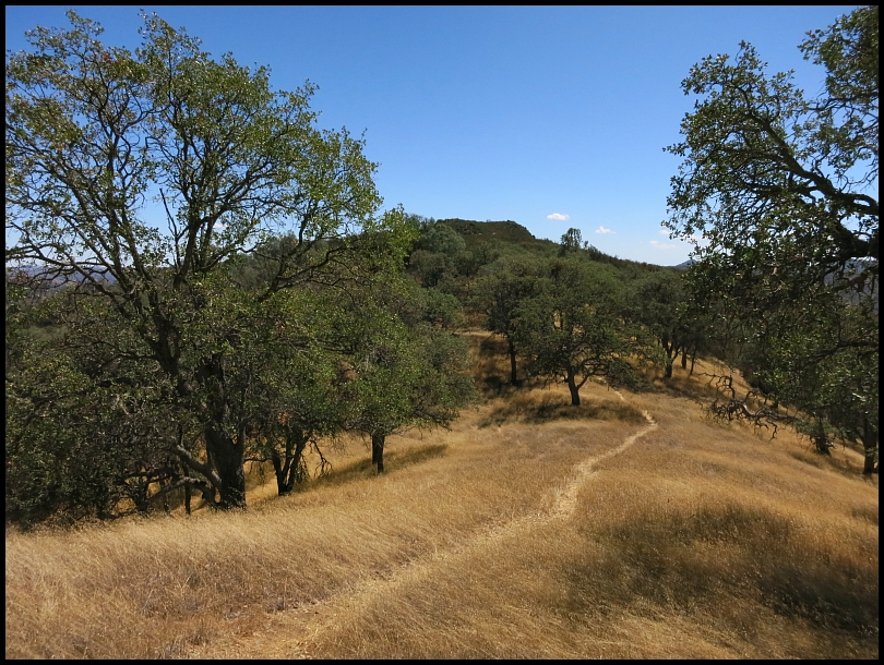
Getting closer, the peak is straight ahead:
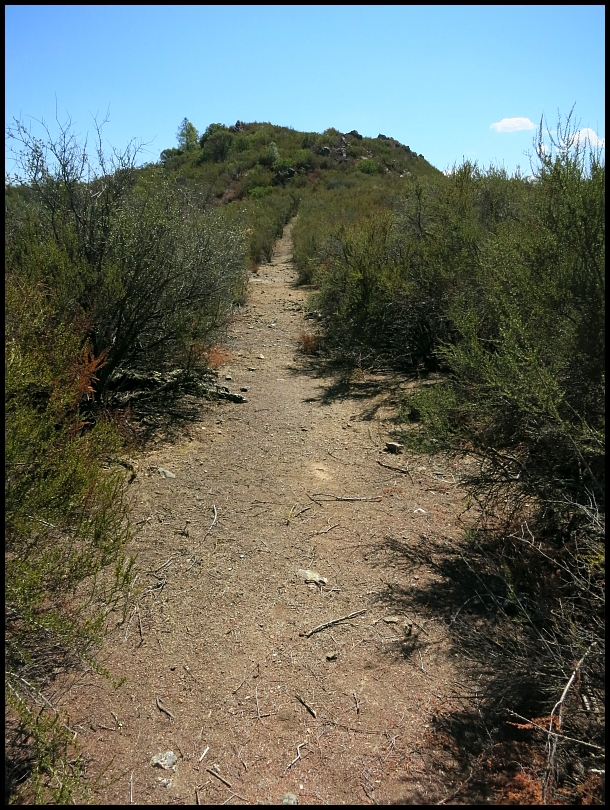
It was arduous, many steep hike-a-bike pitches and sections of non-compacted soil sapped my energy. At this rock garden, I parked the bike and hiked the rest of the way:
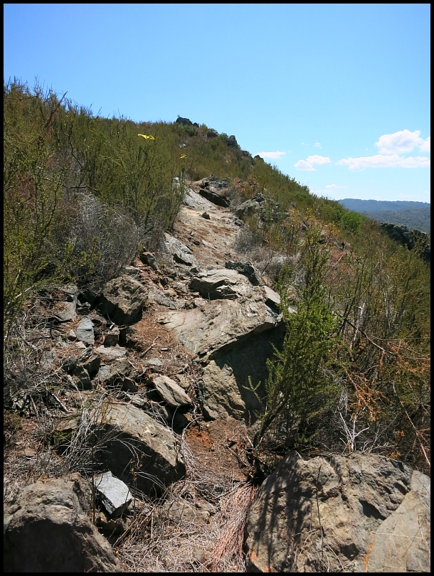
The peak!
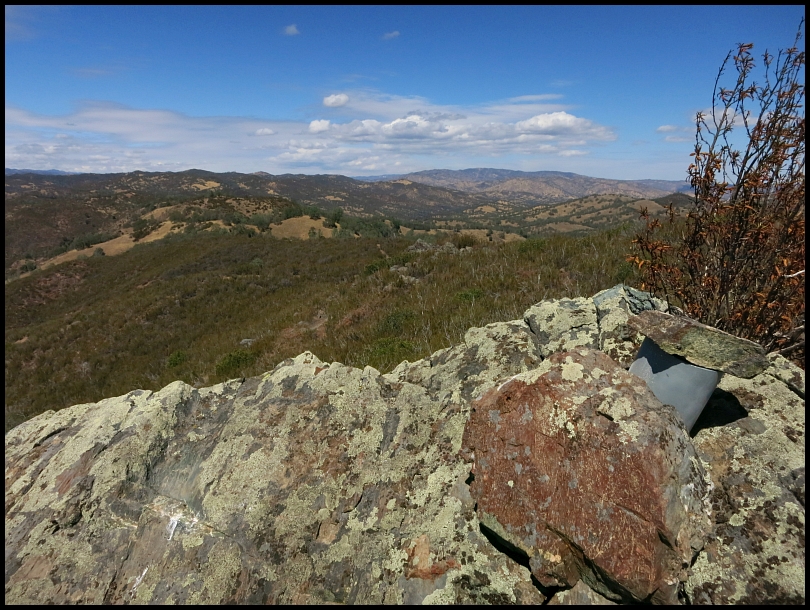
Great to have some fresh views of the Park.
The geocache is obvious in the photo above. This old journal page must be from the 2008 group hike mentioned in the fourth paragraph of
The Ponderosa article:
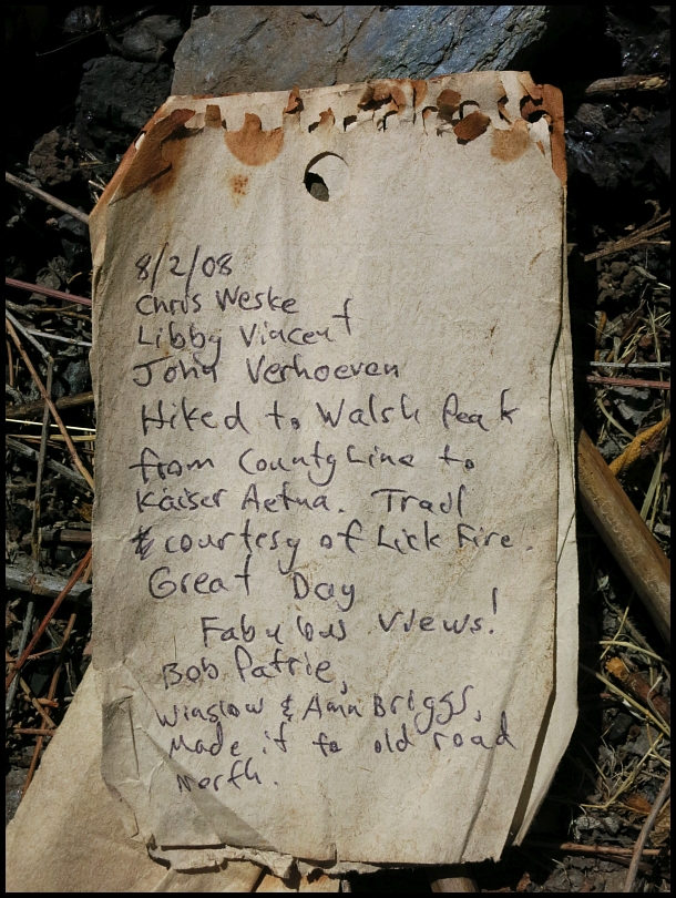
Historical document!
Going back through the rock garden to retrieve my bike:
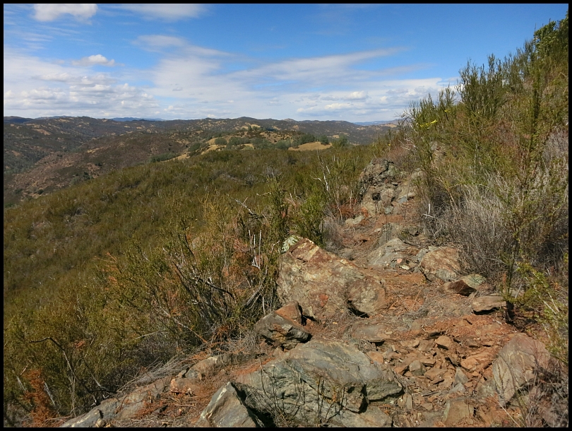
An easy bit on the return trip:
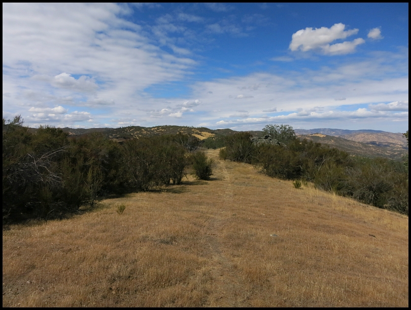
Looking back from Coit Road across the Mississippi Creek valley, the trail runs along that ridgeline leading to Walsh Peak (on the right). The silhouette a good elevation profile for the trail:
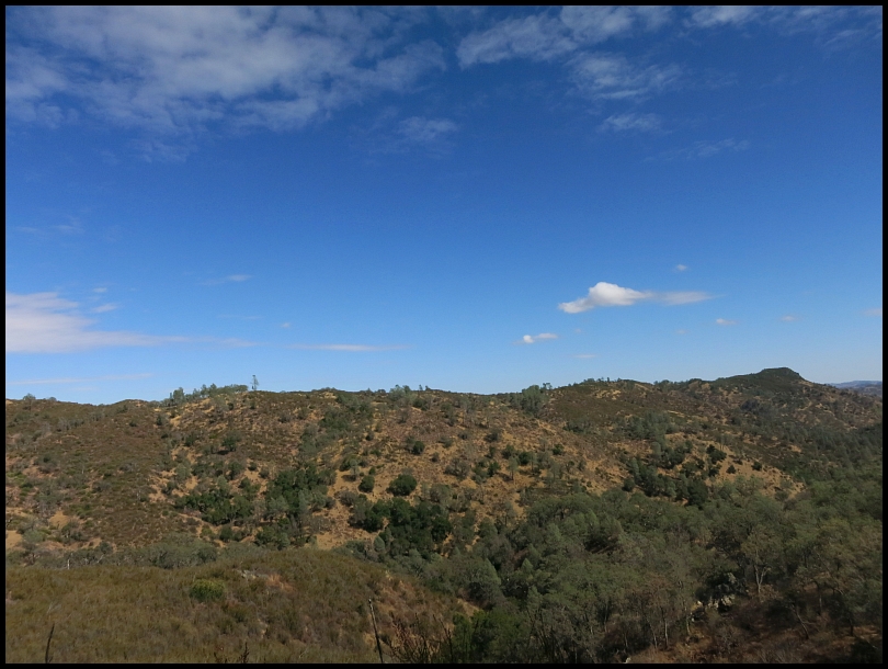
"...the trail is a little over 1.9 miles in length and while gaining only about 140 feet in elevation undulations results in about 450 feet of climbing."
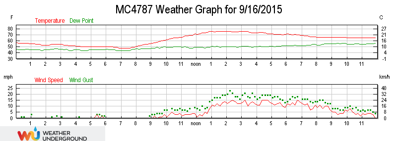
The PonderosaIt is roughly a 15 mile bike ride from Hunting Hollow to get to the start of the Walsh Peak Trail. Most of the 6k' of climbing was incurred getting there and returning so it was a full day event. The cool temps and the partial overcast really helped with making this a pleasant day. (Due to the summer heat, I hadn't been at Coe since early May.) In the morning I crossed paths a few times with a couple riders, Jim and Tim. Jim had
broken his nose crashing in the Grapevine rock garden just 5 days ago (!) and, interestingly, used to live just off Skyline Blvd Hwy 35 at the Langley Hill Quarry on Rapley Ranch Road (his family owns the business).
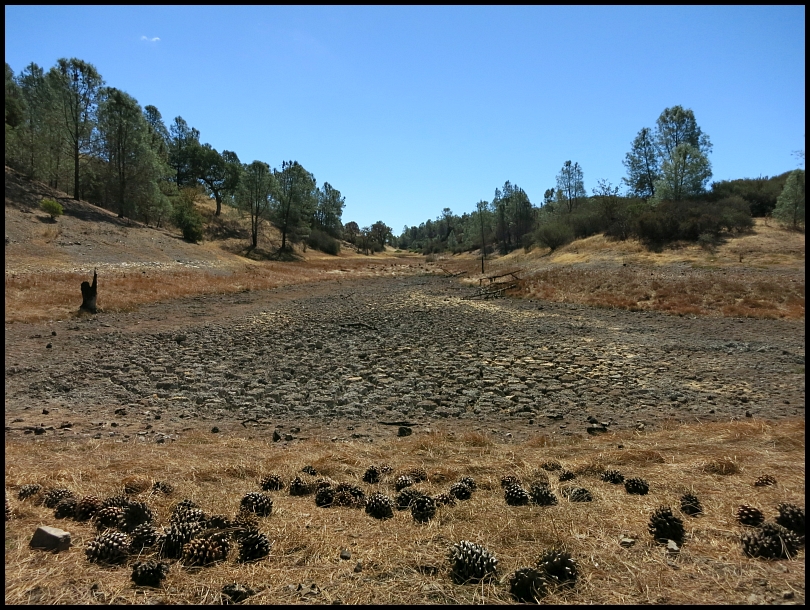
A couple of typical Coe summer scenes, (below) a dry, cracked area sometimes occupied by Hoover Lake, and (bottom) the Park roadgrader endlessly smoothing out smooth roads
Start at Hunting Hollow » Gilroy Hot Springs Road » Coyote Creek entrance » Coit Road » Anza Trail » Jackson Trail » Elderberry Spring Trail » Rock Tower Trail » Domino Pond Trail » Wasno Road » Coit Road » Willow Ridge Road » Hoover Lake Trail » Hoover Lake » Hoover Airstrip » White Tank Spring Trail » Rose Dam Trail » Pacheco Creek Trail » Pacheco Camp » Coit Road » Pacheco Ridge Road » Phoneline Trail » Coit Road » County Line Road » Walsh Peak Trail » Walsh Peak » Walsh Peak Trail » County Line Road » Coit Road » Pacheco Ridge Road » Ridge Trail » Pacheco Creek Trail » Pacheco Camp » Coit Road » Live Oak Spring Trail (upper) » Wagon Road » Wasno Road » Tule Pond Trail » Grizzly Gulch Trail » Coit Road » Coyote Creek gate » Gilroy Hot Springs Road » Hunting Hollow parking. 36.70/6:40/9:05/6,661'
Gilroy
Cordoza Ridge
