A solo Summer Solstice ride—not the official Solstice 10k—out and back to Bear Mountain.
Rolling out at 7:30am from Hunting Hollow, this began with a Anza/Jackson/Elderberry/Domino Pond climb. At the top I considered my options and choose the expedient Coit fireroad to Willow Ridge. What Is Was Like Out There™
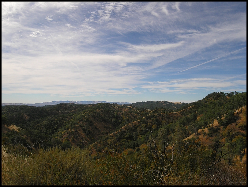
There was a high, hazy overcast all day, a little deary…
Passing by Kelly Lake I could see the tire tracks left by the Solstice 10k group so when I got to the Willow Ridge Road & Cross Canyon Trail intersection, I took a break and in a few minutes the group topped out of Cross Canyon:
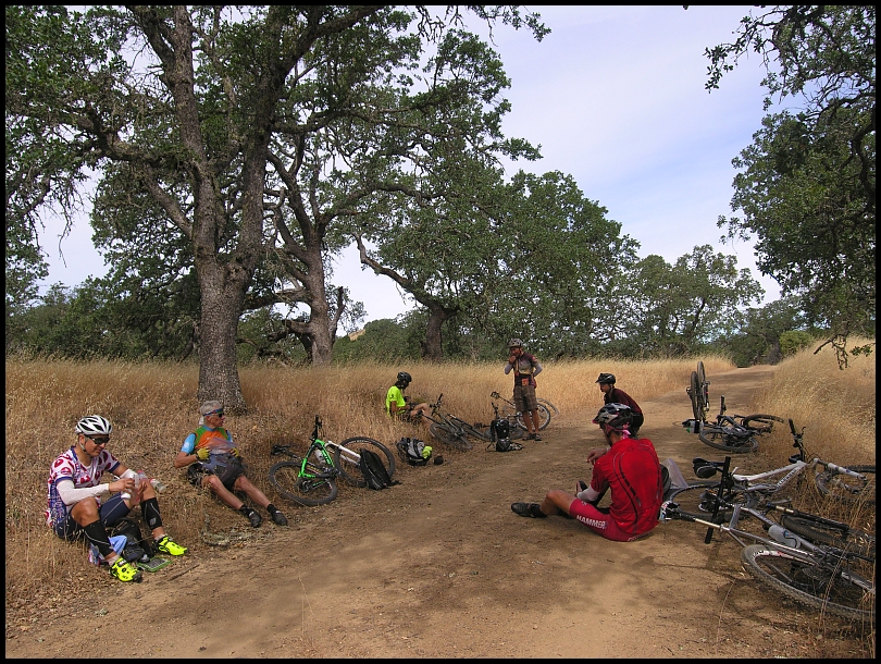
They stayed about 30 minutes. Sure there was the Skyline35-vortex-of-not-getting-anywhere factor but part of it was that Tom O broke his chain on the climb and they had to wait for him. The 2014 Coe Solstice riders were Paul N, Roy R, Tom O, Eric S, Kley, Fred S, and Julie K.
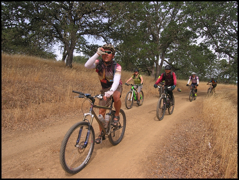
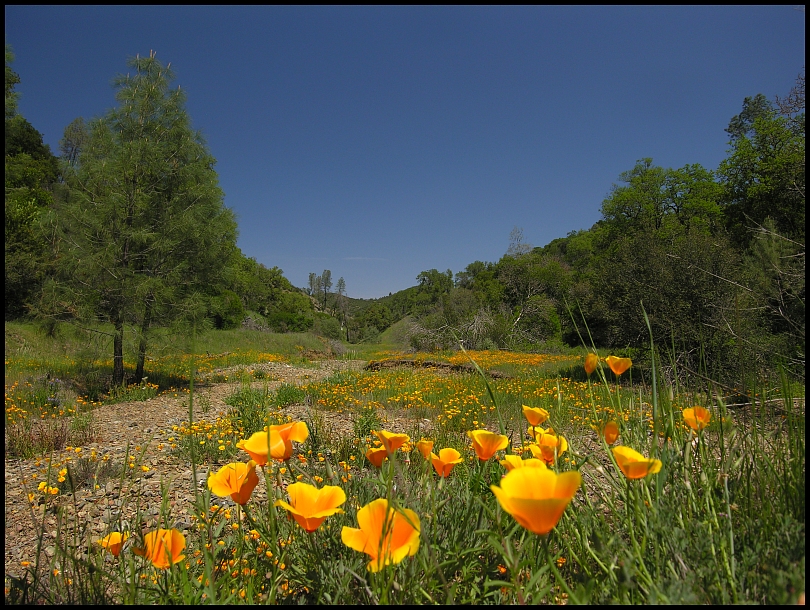
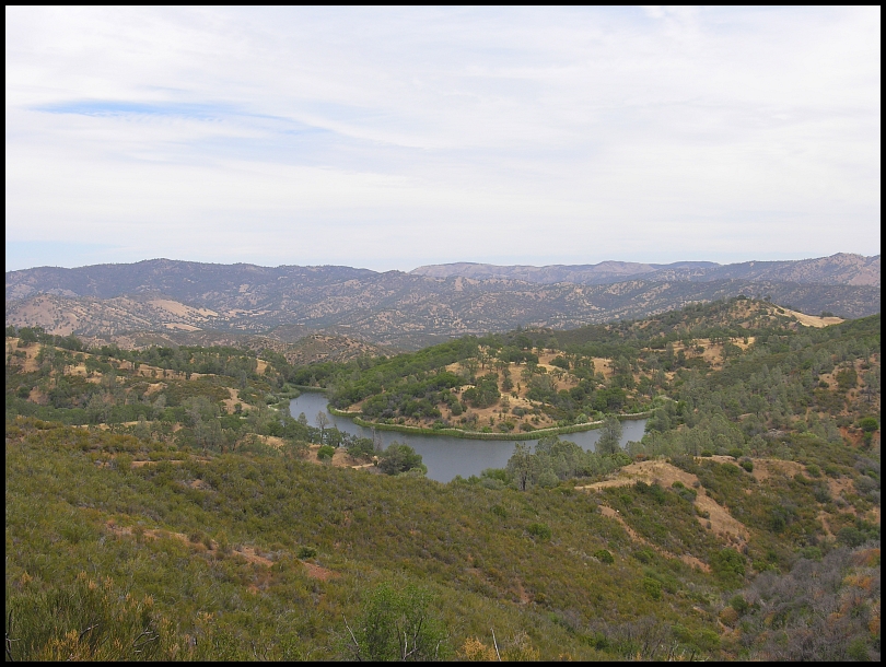
The Pacheco Creek Trail landscape, hazy sky, dry grass, and no flowers:
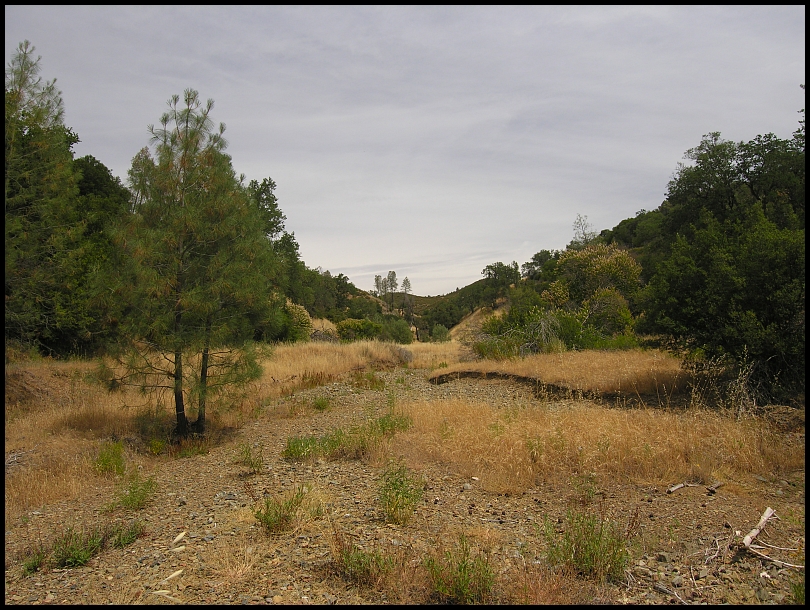
…so different from April 19, 2014:
Mississippi Lake seen from the Mississippi Queen Trail:
I waited here about 30 minutes for the Solstice 10k group but looking back at the data, they were 1:15 behind me through the Pacheco Creek basin (they had a longer route and a water filter stop at Pacheco Camp)
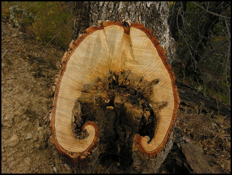
This burly tree trunk reminded me of a bass clef:
Mississippi Lake Perimeter Road
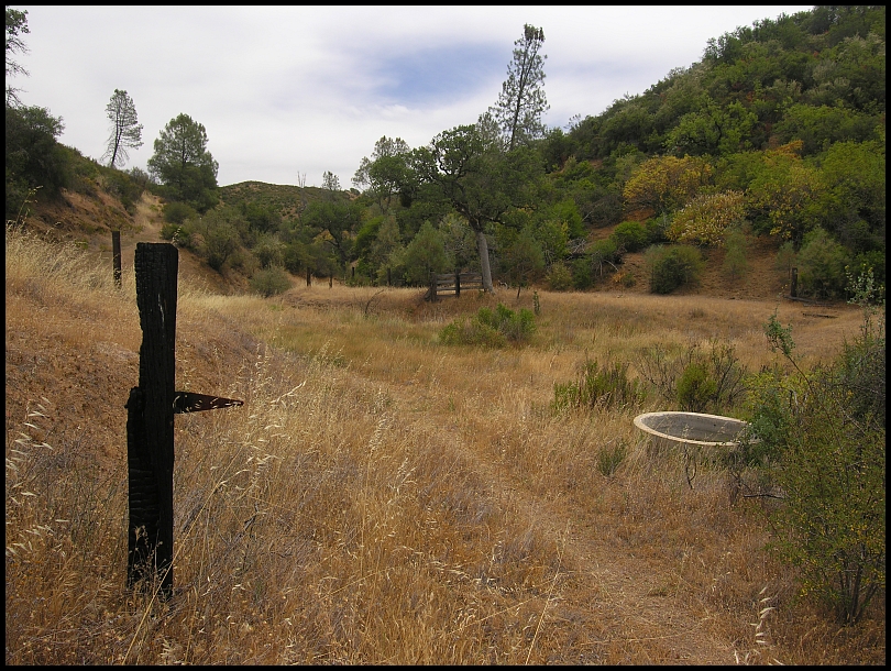
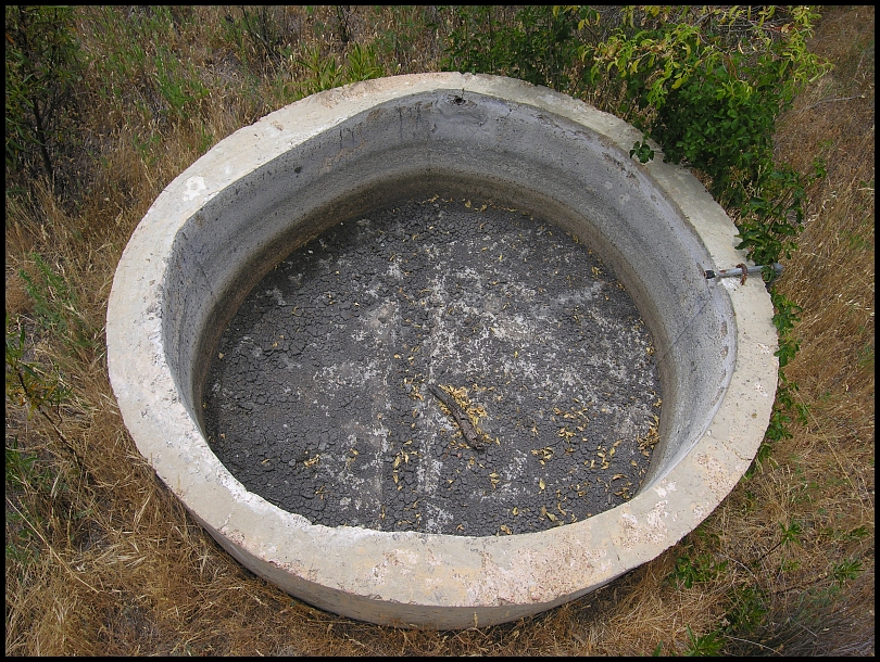
A few photos of the Bear Spring corral area:
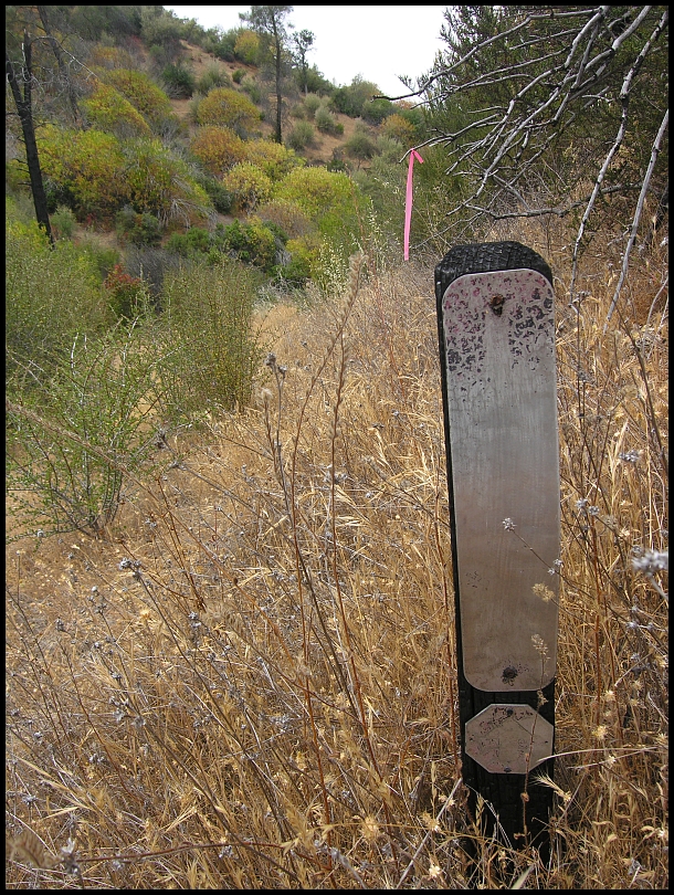
On along the Bear Spring Trail (East Alternative), I'm amazed that this doesn't grow over:

The path is clear but still, your shins get shredded.
Top of Bear Mountain:
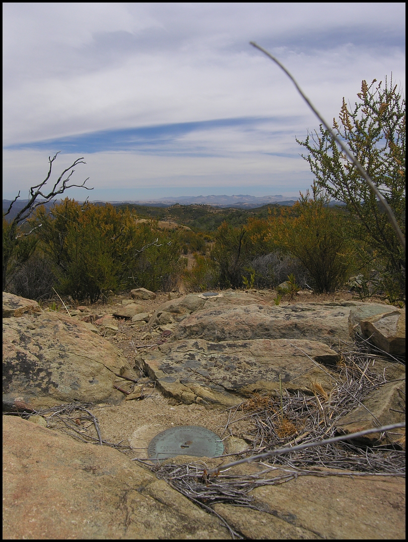
When I was here two weeks ago, I wasn't doing too good. A lot better today. Here I decided to try Hammer Nutrition Perpetuem, food substitute powder to mix in your water bottle. I figured, ha based on that recent ride, that if it made me feel bad, I knew I could get back. I consumed a couple bottles of it on the return ride and found I liked it.
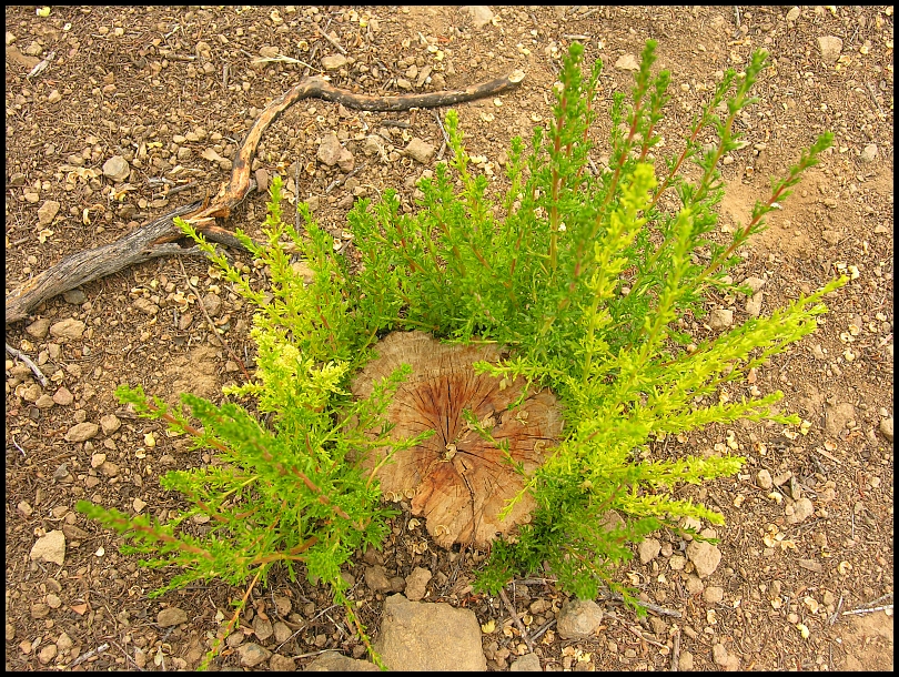
Heritage Trail, Bruce was so happy with the clean cut of this bush during
our trailwork April 23 but the plant is fighting back:
When I got to Pacheco Camp, I did a Phoneline/Ridge Trail figure-8 then stopped to filter water. Official temperature 3:54pm:
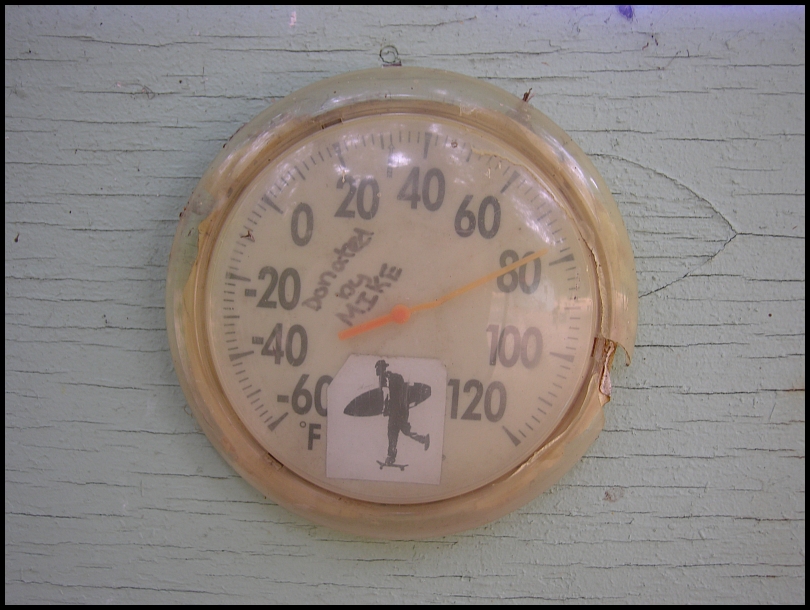
Yes, I tapped the gauge to un-stick the needle so that is an ultra-accurate reading :-)
Paging the San Martin Horsemen, these cows on Grizzly Gulch Trail need to be rounded-up:
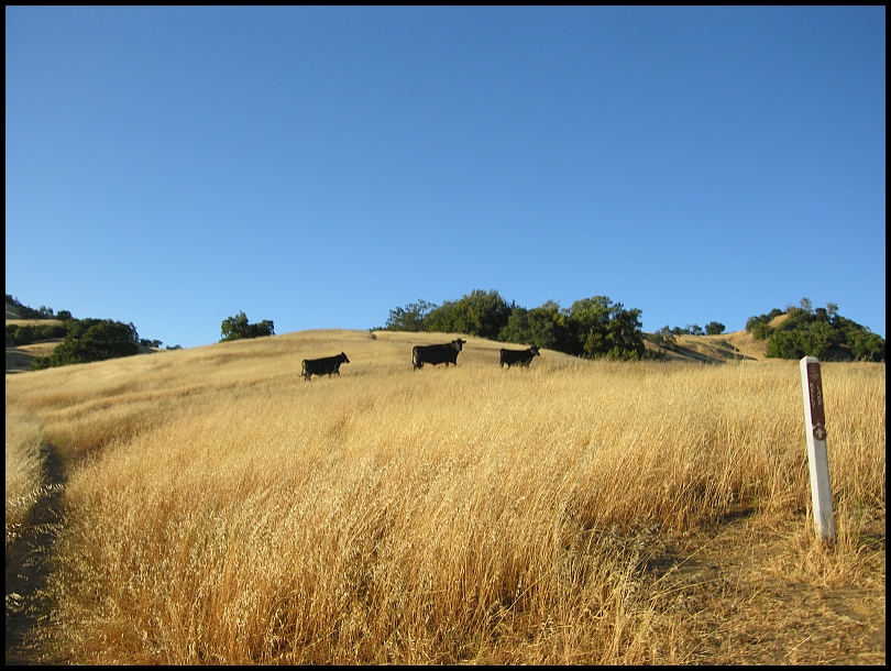
I ♥ Grizzly Gulch Trail:
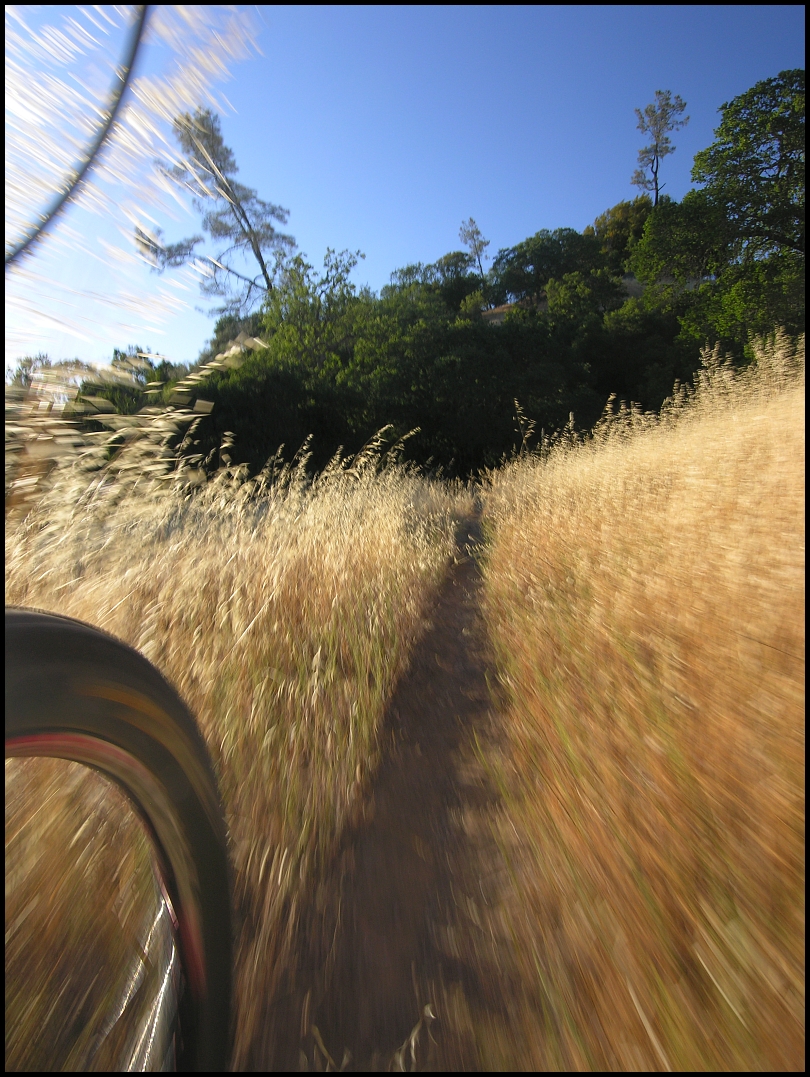
Back at Hunting Hollow at 7:40pm, the Solstice 10k group were not back yet. Big day for them!
2014 Coe Solstice Ride Report on mtbrRoys’s trackKley’s trackJulie’s trackFred’s trackFred’s playback (Be sure to check the boxes for all riders listed.)
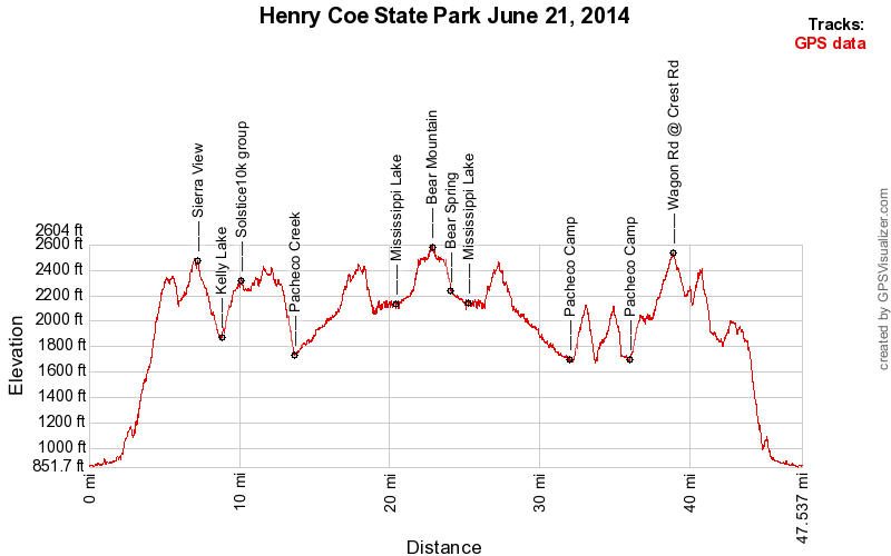
Start at Hunting Hollow » Gilroy Hot Springs Road » Coyote Creek entrance » Coit Road » Anza Trail » Jackson Trail » Elderberry Spring Trail » Rock Tower Trail » Domino Pond Trail » Wasno Road » Coit Road » Willow Ridge Road » White Tank Spring Road » White Tank Spring Trail » Rose Dam Trail » Pacheco Creek Trail » Willow Ridge Road » Mississippi Queen Trail » Willow Ridge Road » Mississippi Lake Perimeter Road » Bear Spring Trail East Alternative » Bear Mountain Road » Bear Mountain. Bear Mountain Road » Bear Spring Trail East Alternative » Mississippi Lake Perimeter Road » Willow Ridge Road » Pacheco Ridge Road » Heritage Trail » Pacheco Creek Trail » Pacheco Camp » Coit Road » Pacheco Ridge Road » Phoneline Trail » Coit Road » Pacheco Ridge Road » Ridge Trail » Pacheco Creek Trail » Pacheco Camp » Coit Road » Live Oak Spring Trail (upper) » Wagon Road » Wasno Road » Tule Pond Trail » Grizzly Gulch Trail » Coit Road » Coyote Creek gate » Gilroy Hot Springs Road » Hunting Hollow parking. 47.6/7:50/12:07/7,206'
Gilroy:

Cordoza Ridge:

