Return to Coe, Part IIOctober 19, 2013, today I would try one of my standard Coe rides, Hunting Hollow to the Coit Lake/Pacheco Creek area (what I call MyCoe). I was by myself so if the backpack hurt too much, I would turn back.
I distributed some of the contents to the bike frame and my pockets but still this was the most weight I’d carried so far. My camera is carried in a case hanging off the sternum strap; it’s heavy. And essential, right? So here are photos from my day…
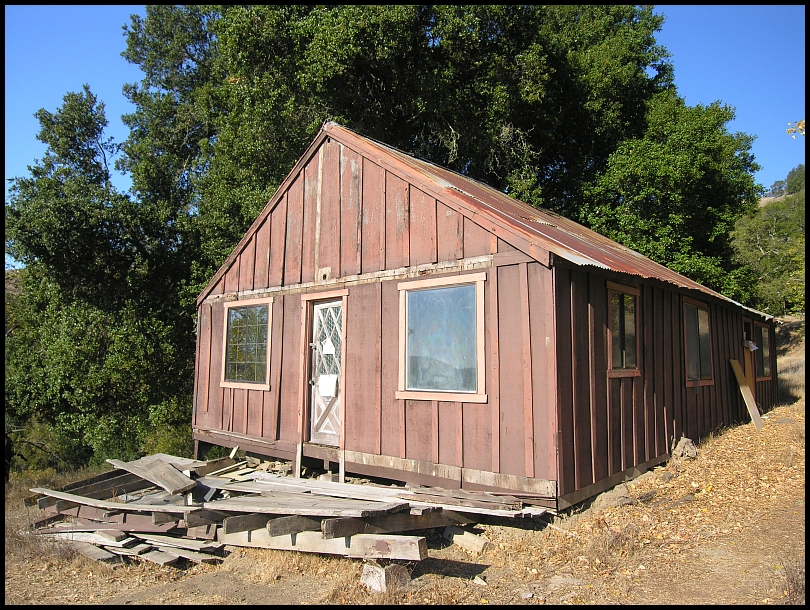
The old ranch house at Willson Camp such as it is these days:

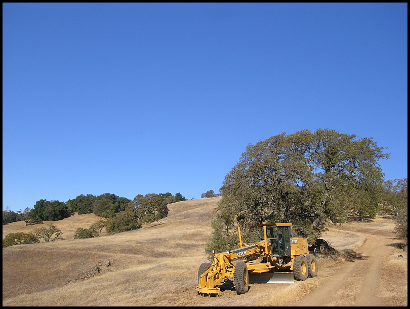
Wagon Road & Rattlesnake Trail, they are grading Wagon Road yet again this year!
Some one has begun a "pilot bench" (left)—I believe that's what you call it—for a new alignment of the Fish & Game Trail:
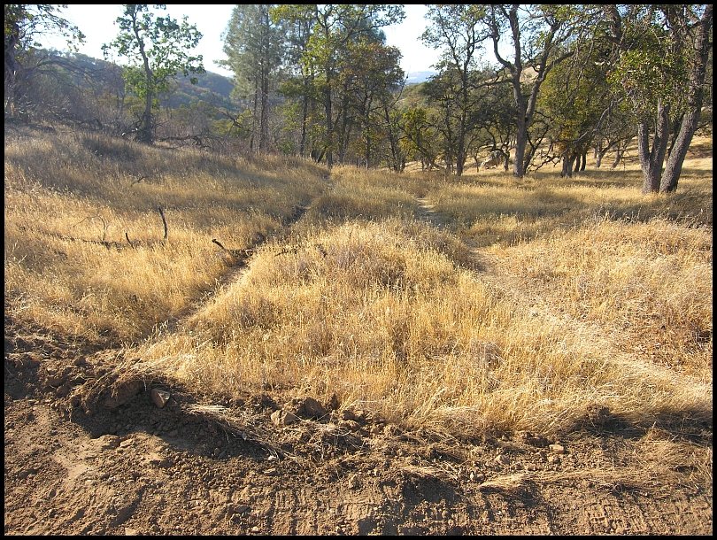
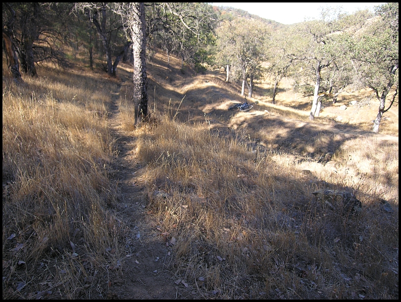

(Pilot bench on the right in the last picture.)
Coit Lake looking lush these days:
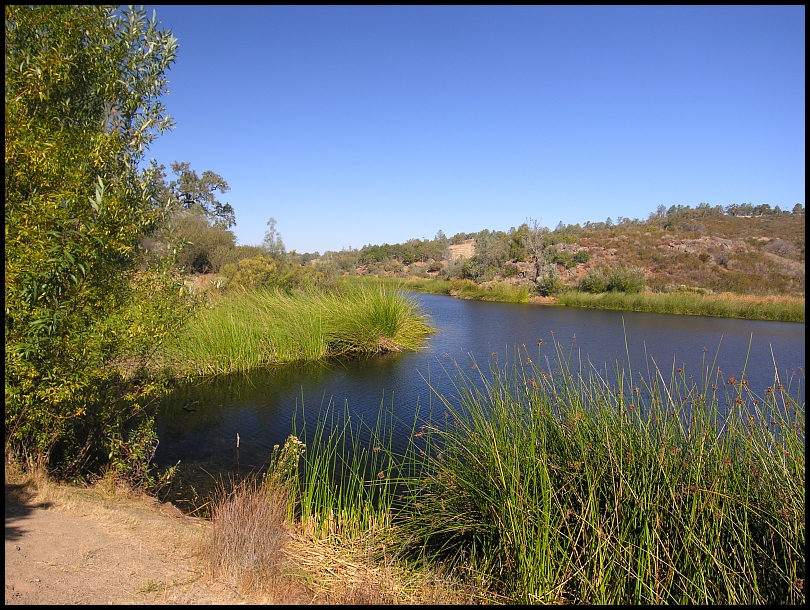
…"Lush", that's something no one is accusing Hoover Lake of being!
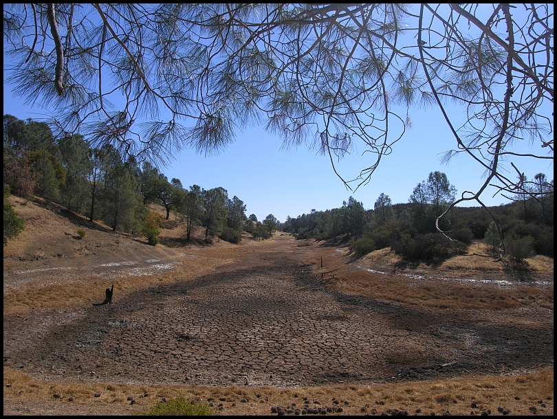
What It Was Like Out There™:
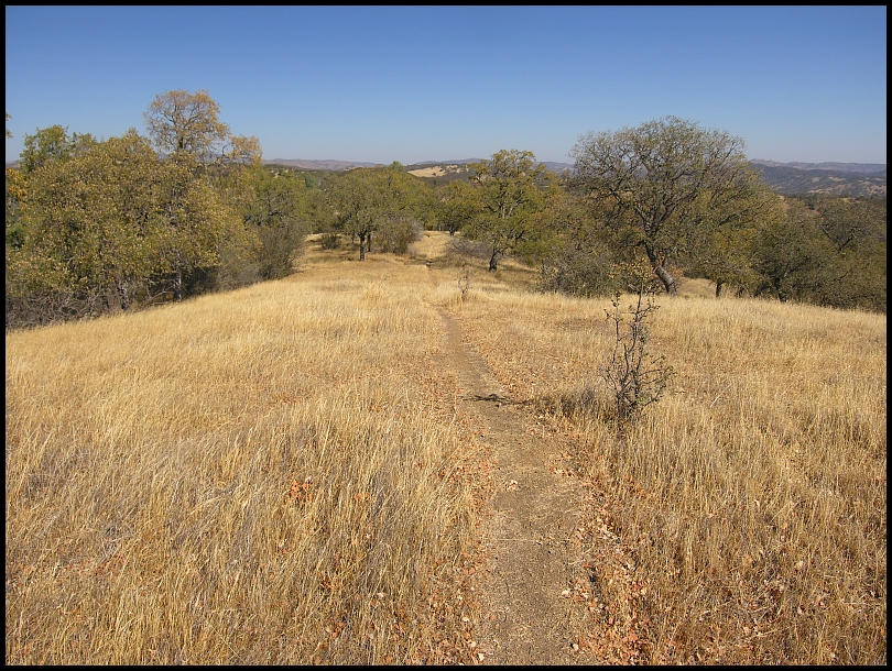
Rose Dam Trail
On my way to Phoneline, I left a message to a couple folks attempting the Coe 100 on that day:
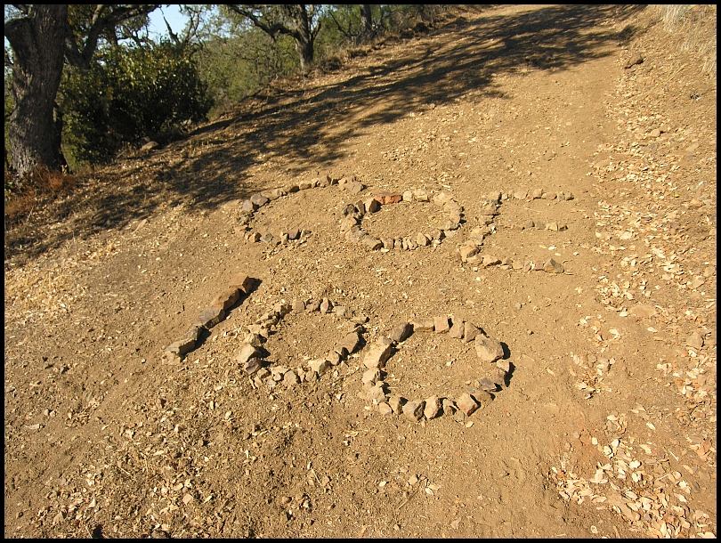
Pacheco Ridge Road
On to Phoneline Trail. For all my efforts to clean up that trail for the Coe 100, only 2 riders ever rode on it Oct 5. Today I flew down it. The Chamise field took hours to clear and only 2½ seconds to zip through (now).
Back up the hill to descend the recently redacted Ridge Trail:

An Adopt-A-Trail which was dropped from the 2013 version of the official Coe map.
I was tired but the shoulder was doing okay. It was 3:15pm and I was at Pacheco Camp to rest and replenish my water. The day was warm—the Pacheco Camp thermometer read 84º (after tapping the glass and accounting for the bent needle)—and I had consumed all my water. There is a working water hose there but it is recommended that the water be purified or filtered before drinking. Lately we have been using a large, seafoam green Rubbermaid tub to fill and filter out of. I flipped it over into position to use and found a Black Widow spider in it! It wouldn’t move so I repositioned so it was away from me and got to work. (The tub is about 5 feet long, intended for a water trough at a spring.)
At 3:30 I have the happy surprise of Meí showing up. She’s full of energy and amazingly doesn’t even need water. We chat while she has a bite or two of a burrito:
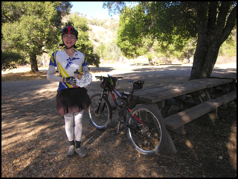
…and she leaves a note for Mr. Mud who is behind her on the trail:
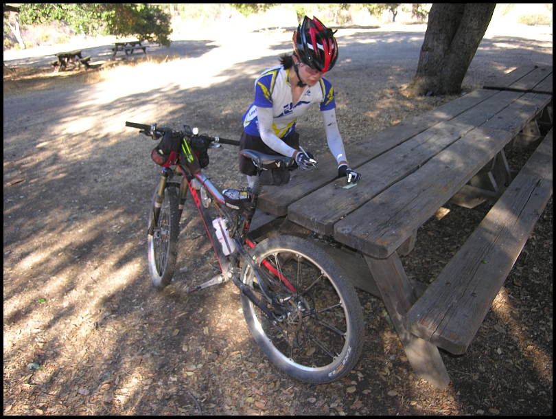
Meí was riding without a backpack so I had to get a photo of her bike to see how she stowed things:

It was a quick 10 – 15 minute stop but for her, probably longer than she wanted. I was rejuvenated and my 2 hour ride back to the parking lot wasn’t too bad. Happily the fallen trees have been removed from Live Oak Spring Trail but there was a newly fallen tree on Grapevine. I’m not nearly recovered but the day went pretty well.
Meí’s track and
her story.
MrMud’s track and
his story.
Start at Hunting Hollow » Hunting Hollow Road » Lyman Willson Ridge Trail » Bowl Trail » Willson Camp » Wagon Road » Wasno Pond Trail » Wagon Road » Fish & Game Trail » Coit Road » Coit Lake Perimeter Trail » Coit Road » Willow Ridge Road » Hoover Lake Trail » Hoover Lake » Hoover Airstrip » White Tank Spring Trail » Rose Dam Trail » Pacheco Creek Trail » Pacheco Camp » Coit Road » Pacheco Ridge Road » Phoneline Trail » Coit Road » Pacheco Ridge Road » Ridge Trail » Pacheco Creek Trail » Pacheco Camp » Coit Road » Live Oak Spring Trail (lower) » Wagon Road » Deer Logic Trail » Grizzly Gulch Trail » Coit Road » Coyote Creek gate » Gilroy Hot Springs Road » Hunting Hollow parking. 32.80 / 5:22 / 9:27 / 5,455'
Gilroy:

Cordoza Ridge:


